Aug 31, 2012
Leslie and Kirk Satellite


Redemption for this lackluster season could be arriving as soon as Tuesday next week for us.  Model consensus is steering Leslie West and then begins to shift on a more WNW track as the Atlantic ridge weakens.  Depending on the strength of this ridge will determine the size of the surf.  A weaker ridge will allow Leslie to slowly curve NW in between Bermuda and the Eastern Seaboard.  If the ridge is stronger she will curve North closer Bermuda.  Either way we are expected to see a long period ground swell impacting much of the coast next week due to Leslie steadily strengthening and her trot Westward.

Here’s a scenario to look forward to.


Leslie is moving at a quick 15+ knots as of right now.  But as she begins to interact with the ridge to the North of her more and more, she will slow gradually.  Many of the computer models have her coming to a near dead stop nearly parallel to Folly Beach….and even strengthening while she lays.  If that happens do I even need to say the rest?

Once she stalls out on Wednesday it's a toss up where she is going to fly off too.  The ensemble models show how confused the computers are post day 5.


MikeC
Aug 29, 2012

We had a great response yesterday as our first day up so let's keep it going!  Loving the support!


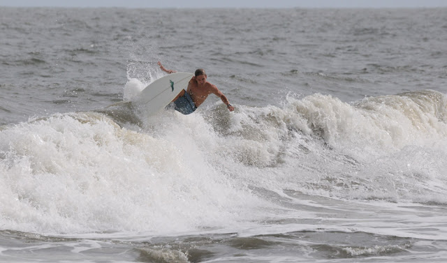
Isaac wasn't the best but he definitely made his presence known at select times.  Leftovers were found this morning and it was so boring out there that little guy above kept me preoccupied during the lulls. 

Below was pretty much all that was left over.


Bye bye Isaac, hello second half of the season.  September 1st marks the halfway point of hurricane season and even though we've had the crappiest season I can remember we still have 3 months to go.


Here's what forecasters are watching now.

Hurricane Isaac


Currently producing swell for basically the whole Gulf region but he's making life very difficult in Louisiana which is more concerning.  Levee's have been breached, power has been cut, and water rescues are already underway.  They don't need another direct hit.

http://www.usatoday.com/weather/storms/story/2012-08-29/hurricane-isaac-wednesday/57401670/1

Tropical Storm Kirk


Kirk will do nothing for anyone.  Models are showing Kirk head West but recurve dramatically to the N/NE.  Bermuda won't even get sizable waves.


Invest 98


Right now 98 is our best bet for waves.  98 is barely off the coast of Africa and is having a tough time with some dry air but it's going to take 2+ weeks before we have any idea whether or not well get waves.


This pattern is starting to piss me off.  But there is still much uncertainty as you can see by the models.  

MikeC

Side note:

If you have noticed a decrease in quality of my pictures it's because I am saving up for a better one.  Probably the Nikon 70-200.  I procrastinate because I'm forking out an ass load of freaking money.  The lens I'm currently using now; well let's just put it this way, I wouldn't sell it to anyone because it's such a piece of 'ish.

I promise next swell I'll have the 70-200.  I'll just be banging my head against the sand 'cause I just spent 2 stacks.

Aug 27, 2012

Isaac Monday

Just launched the Facebook page!!

  Make sure you click the LIKE button!!


THANKS!!!!


Although there was more size today the wind and tide were complicating things.  Pictures were taking late this afternoon.


I am going to start a website someday with a title that goes something like, "Can I Park Here?"  Because it seems like a lot of people on Folly have no idea how to read or follow traffic rules.  Can't blame it on the alcohol anymore!


MikeC

TS Isaac


Watching the storm track across the Caribbean while keeping an eye on our local wind forecasts, I thought the day to score was Sunday.  I was 95% wrong.  

Saturday evening I was vexing at work watching the cam all night long.  The swell was filling in nicely although slightly walled.  But we hadn't had waves like this in a long ass time.  So the light winds made for pristine conditions in my eyes. Myself and a few others were barred at work.

But I kept saying to myself Sunday is the day.  I was selling myself a dream because the damn wind forecast Saturday night had the winds cranking out of the NE/E all day long.  Great.

I took pictures Sunday morning anyway.  Took a few at the pier till the lifeguards (it was actually only one of them) took their (his) ego out on everyone and a few at the Washout.  It sucked everywhere.  Wind was on it early and tide was dead low.  I basically wrote the day off at 2pm.  Leaving the beach I was pissed off.  Not only for missing Saturday but for also how shi...y this season has been.  All that was going through my mind was, "This was the last one and I missed it."


Turns out Sunday wasn't a full disappointment.  I kept watching the cam all afternoon waiting for the incoming tide and sure enough right around 6 I said screw it I'm going out there.  When I arrived, winds were light and the swell was lined up, running about chest high on the sets.  

Ended up having a ton of fun with not too many people out all the way till dark.  Didn't take pictures that evening.  Had to make up for earlier that day.

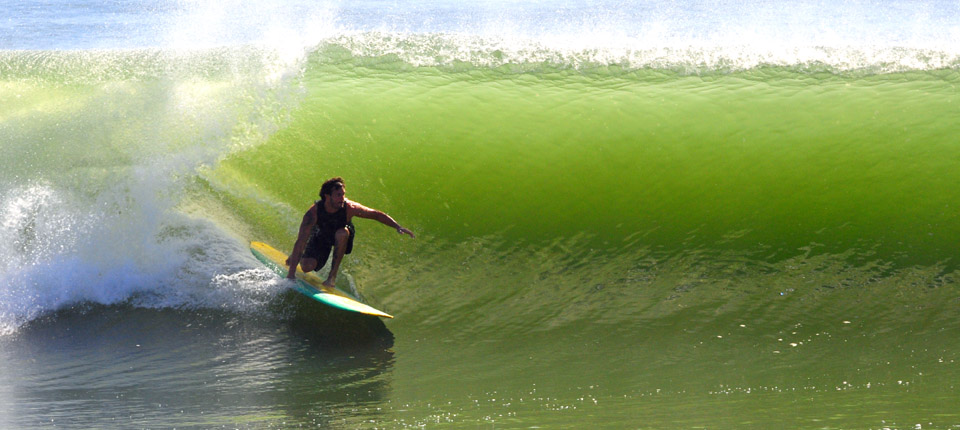
Here are a few from this Sunday AM.

Oh and btw.  Today sucks too.  Maybe this afternoon again?  Prob not.  Thanks Folly.


Just said to myself, "Wow."  Those are the only acceptable pictures I'm putting up.  Even looking back on Sunday through pictures pisses me off.  What a crappy day.  Don't ever get your hopes.  9.9 times out of 10 Folly will disappoint.  

MikeC

THIS SATURDAY

LAS OLAS SURF SHOP PRESENTS:


JUANITAS DOWNTOWN KING ST!!!!

LAST ONE WAS OFF THE CHAIN

Check the photos on my Facebook!

Your's truly will be shooting the event once again. Come have a Corona, support LAS OLAS and see some beautiful women!

THIS SATURDAY!


Aug 15, 2012
So last late July I posted that I was getting a little concerned with the tropical storm season.  About 2 weeks after I posted my bothered outlook Hurricane Irene, a Cat 4 storm, flared up.

Well lets just say I am a little more worried than last year.  It's mid August and we've had like 3 named storms that had the  potential to push swell our way.  The storm out in the Atlantic now is forecasted to do something I've never seen this time of year.  Models are predicting the storm to backtrack on itself and head back East.  

There is some more pulses coming off of Afica but the Saharan Dry Air Layer sucks for any storm development.  

Here is the two week tropical outlook from the Climate Prediction Center.

MikeC